


The region is sitting warm and clear at 6 PM — Watkins Glen touching 85°F and Corning at 84° — but that comfortable evening is borrowing time. A surface low tracking across the central Great Lakes overnight will drag a warm front into western New York, and the Buffalo Weather Service is flagging multiple rounds of showers and thunderstorms from tonight through Wednesday with heavy downpours and locally gusty winds possible.
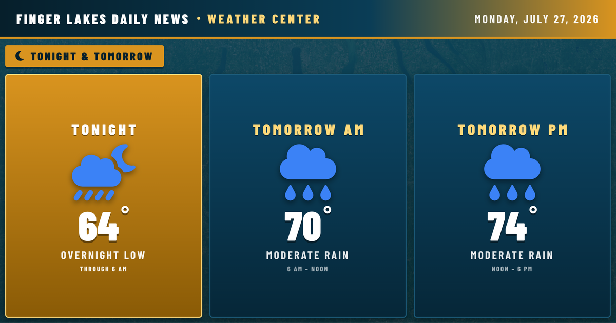
Tonight, lows settle into the low-to-mid 60s regionwide before showers increase after midnight. Elmira is already picking up light drizzle this evening, the first hint of what’s building.
Tomorrow looks wet. Geneva expects a high near 74° with a 63% precipitation chance, and Wednesday holds the highest likelihood of the stretch — Geneva at 95% precip with a high near 71°. Expect periods of rain both days, with heavy downpours possible in any stronger cell. Winds stay light overall, topping out around 10–12 mph, but localized gusts are possible with any thunderstorm.
The pattern finally breaks Thursday, with lingering shower chances easing into a drier Friday and a partly cloudy weekend.
Weather Center forecast for the Finger Lakes region. Sourced from NWS, Open-Meteo, NWS Area Forecast Discussion, and USGS stream-flow data. Updated 6 AM, noon, and 6 PM ET.