


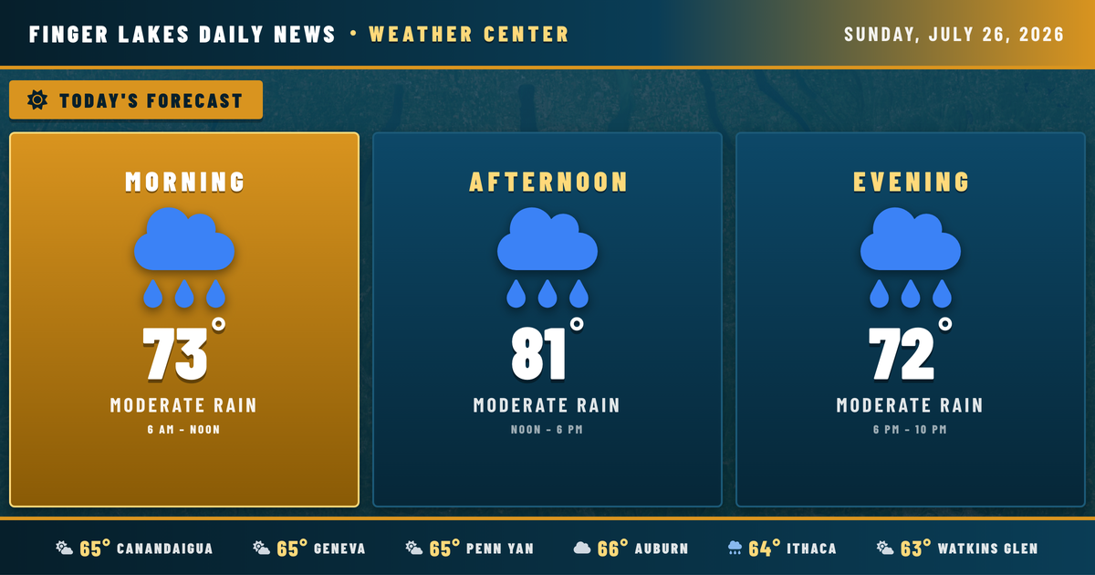
The humidity tells the story this Sunday morning — Geneva sitting at 90% with temperatures already at 65°F, and a few spots like Bath, Elmira, and Ithaca already picking up light drizzle before sunrise. It’s a moist, somewhat murky start to the day, and that moisture is only going to have more to work with as the day heats up.
Skies will remain partly cloudy through the morning, with temperatures climbing into the upper 70s by midday. The real action arrives this afternoon: as daytime heating kicks in and a shortwave disturbance moves into the eastern Great Lakes, scattered showers and thunderstorms become possible across the region, with best chances between roughly 2 PM and 8 PM. No severe alerts are in effect, but any storm could produce a brief heavy downpour. Highs today top out near 81° in Geneva, Canandaigua, and Auburn, with Ithaca and Watkins Glen possibly nudging 83°.
Evening storms taper off after sunset around 8:35 PM, with overnight lows dropping back to the mid-60s. Humidity stays elevated throughout.
The stretch ahead is worth watching. Monday and Tuesday bring the heaviest rain threat of the week — a broad upper-level trough settling over the region will allow multiple disturbances to ripple through, producing widespread showers and thunderstorms with precipitation chances rising to 90% by Tuesday. Wednesday stays unsettled before conditions finally improve Thursday and Friday, with Friday offering mainly clear skies and highs rebounding to near 82°. Next weekend looks partly unsettled again, but far from a washout.
Weather Center forecast for the Finger Lakes region. Sourced from NWS, Open-Meteo, NWS Area Forecast Discussion, and USGS stream-flow data. Updated 6 AM, noon, and 6 PM ET.