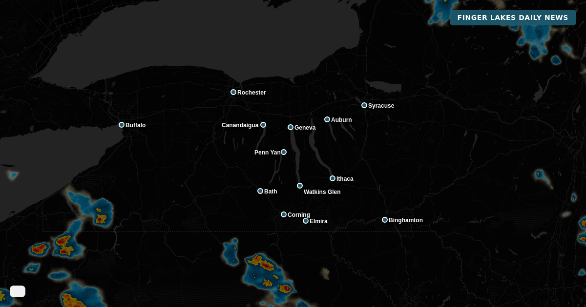


Scattered drizzle and light showers are dotting the region this evening — a preview of what’s building for the week ahead. The real story isn’t tonight; it’s what arrives Monday and holds on through at least Tuesday night, when the National Weather Service is expecting greater coverage of showers and thunderstorms, some capable of gusty winds and heavy rainfall.
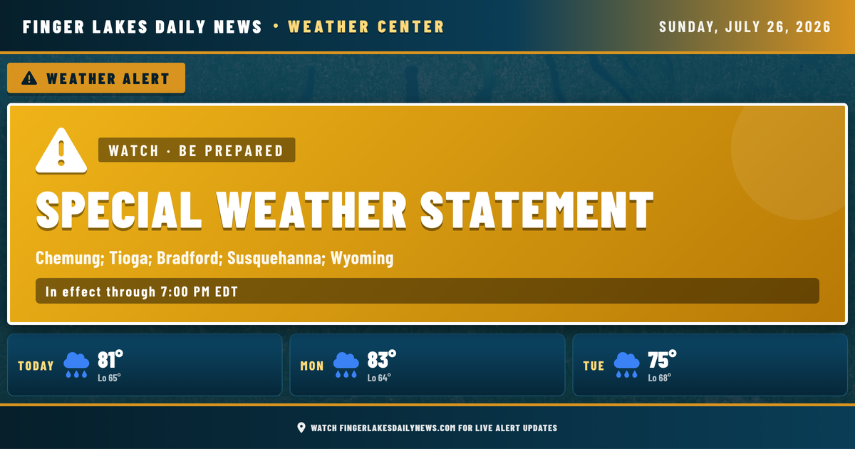
Tonight, an upper-level trough deepening across the Northeast keeps the chance of a spotty shower or rumble of thunder around through early evening — particularly in the southern valleys. A Special Weather Statement issued this afternoon by NWS Binghamton for Chemung and surrounding counties expires at 7:00 PM, covering a brief window of spotty storm activity that is expected to wind down quickly. Lows overnight will settle into the mid-60s across most of the region, with Geneva holding near 65°F and the valleys around Watkins Glen dipping a few degrees cooler to around 63°F. No frost risk tonight.
Tomorrow brings warmer afternoon temperatures — highs near 83°F — ahead of a more organized round of showers and storms arriving Monday evening and continuing into Tuesday. Tuesday into Wednesday carries the heaviest rain potential, with Geneva forecast to see a high of only 75°F by Tuesday and precipitation chances at 93%. Conditions don’t begin to dry out meaningfully until the end of the work week, with Friday looking mainly clear and Saturday recovering nicely into the low 80s.
Weather Center forecast for the Finger Lakes region. Sourced from NWS, Open-Meteo, NWS Area Forecast Discussion, and USGS stream-flow data. Updated 6 AM, noon, and 6 PM ET.