


The evening commute is about as pleasant as late July gets — skies are clear, the humidity is low, and temperatures are still holding in the mid-70s across most of the region as we head into the 6 o’clock hour. Enjoy it, because this is about as comfortable as the overnight gets before a notable warm-up takes hold.
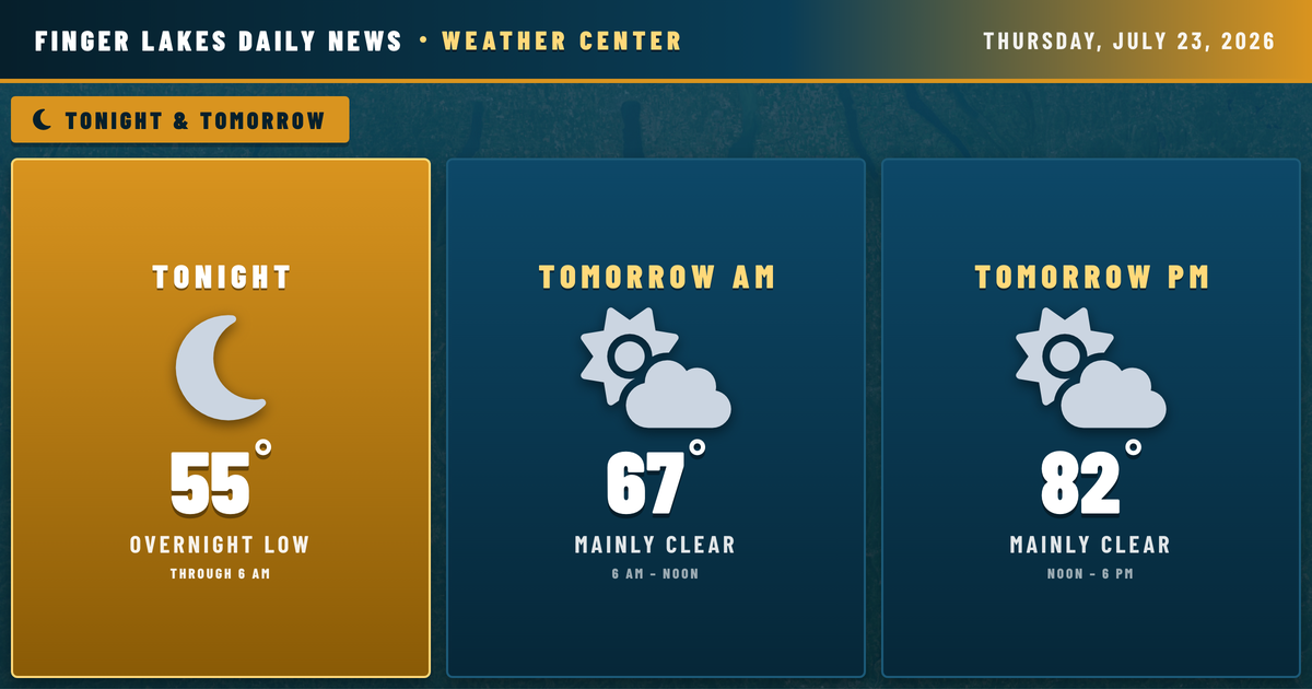
Tonight, high pressure builds east across the eastern Great Lakes, keeping skies mainly clear and winds near calm. Lows will settle into the mid-50s for most of the region — Geneva looks to land around 55°, with Ithaca a degree or two lower. The southern valleys are the exception: NWS Buffalo is expecting river valley fog to develop late tonight into Friday morning, so early risers near Corning and the Chemung corridor should account for reduced visibility at dawn.
Tomorrow shapes up as another fine day — mainly clear, with highs climbing into the lower 80s. High pressure stays anchored over the region through Saturday, nudging temperatures into the mid-80s by the weekend. A slight chance of an isolated afternoon shower or thunderstorm exists Saturday as a weak disturbance interacts with daytime heating, but it would be brief and spotty.
The bigger story arrives Sunday, when an unsettled pattern moves in and rain chances climb through the first half of next week.
Weather Center forecast for the Finger Lakes region. Sourced from NWS, Open-Meteo, NWS Area Forecast Discussion, and USGS stream-flow data. Updated 6 AM, noon, and 6 PM ET.