


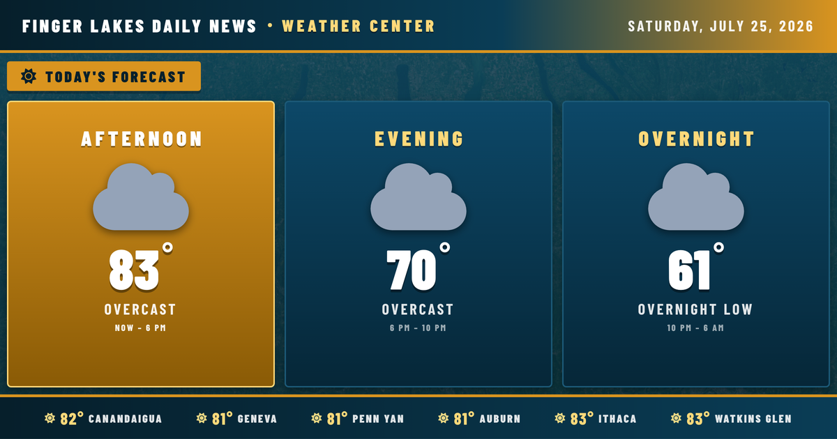
Clear skies at midday are masking what’s quietly building to the west — high pressure that gave us a stretch of fine summer weather has slipped east to New England, and a southerly return flow is already pulling moisture back into the region. Right now, Geneva sits at 81° and Ithaca is up to 83° under full sun, and both will push close to their forecast highs before the afternoon is done.
No alerts are in effect. The afternoon stays dry and pleasant, with light south winds keeping humidity comfortable. Clouds begin to thicken tonight and through Sunday as the moisture return deepens. The first meaningful rain chances arrive Monday and Tuesday, when an upper-level trough pushes through and brings wider coverage of showers and thunderstorms. By midweek, that same trough drags in a cooler airmass, with highs dropping to the mid-70s Wednesday and Thursday. A partial rebound is possible heading into next weekend.
Weather Center forecast for the Finger Lakes region. Sourced from NWS, Open-Meteo, NWS Area Forecast Discussion, and USGS stream-flow data. Updated 6 AM, noon, and 6 PM ET.