


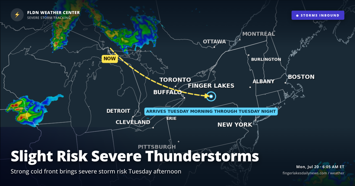
The clock is already ticking toward Tuesday — the Weather Center has been tracking a strong cold front pushing across the Great Lakes, and the setup warrants a close look before the work week gets rolling. Today itself is quite pleasant: clear skies at sunrise, temperatures in the low-to-mid 50s across the region, and a beautiful stretch of July weather ahead through this afternoon.
Highs today climb into the low 80s — near 80° in Geneva and Auburn, touching 83° in Watkins Glen as valley terrain contributes to a bit of extra warmth. Skies will stay partly cloudy through the afternoon with essentially no precipitation chance. Light southerly winds keep things comfortable. Sunset arrives at 8:40 PM, and the evening looks ideal.
Overnight tonight stays quiet, with lows settling back into the mid-to-upper 50s for most of the region — Corning and Bath could dip to near 50° again in typical southern-tier valley fashion.
Then comes Tuesday. Showers arrive in the morning, but the bigger concern is the afternoon: NWS Buffalo is flagging a Slight Risk of severe thunderstorms as surface-based instability builds between 1,000 and 2,000 J/kg along a pre-frontal trough. Damaging winds are the primary threat, though the setup also favors some supercells and large hail. Plan accordingly if you have outdoor activities Tuesday afternoon or evening.
Wednesday brings lingering drizzle and cooler air — highs only near 70° in Geneva — before conditions improve Thursday into Friday. The back half of the week looks dry and pleasant, with highs returning to the low-to-mid 80s by the weekend.
Weather Center forecast for the Finger Lakes region. Sourced from NWS, Open-Meteo, NWS Area Forecast Discussion, and USGS stream-flow data. Updated 6 AM, noon, and 6 PM ET.