

What catches my attention on this quiet Sunday morning is the combination — air that actually feels refreshing at 60–61°F, and yet a lingering Air Quality Alert overhead for much of the region. The two don’t always pair together, but here we are.
That alert, issued by NWS Binghamton, covers a broad swath of the Finger Lakes including Yates, Schuyler, Tompkins, Steuben, Chemung, and Seneca counties, and remains in effect until 4:00 PM today. Residual smoke from regional fires has been riding the upper-level flow into western and central New York, keeping air quality in the unhealthy-for-sensitive-groups range through mid-afternoon. If you’re sensitive to air quality, plan outdoor activity for this evening rather than midday. A separate alert from NWS Buffalo covering Ontario and Livingston counties expires at midnight tonight.
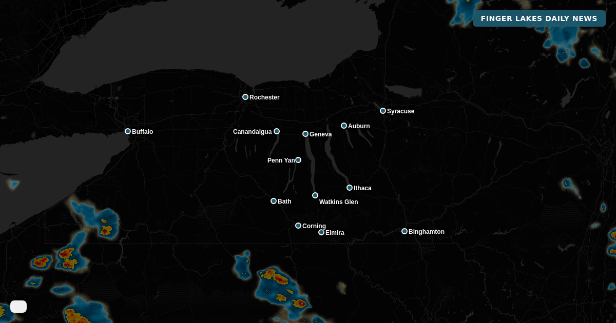
The morning itself starts partly cloudy with humidity running high — Bath is sitting at 98% — but that mugginess will fade as the day goes on. A northerly flow is the engine behind today’s cool-down, with daytime highs topping out near 72° in Geneva, Canandaigua, and Auburn, and around 75° from Watkins Glen down through Corning and Elmira. That’s several degrees below the mid-July average. Afternoon skies will be hazy more than sunny, with the smoke contributing. A slight chance of light drizzle is possible through the day, though most areas stay dry.
By evening, conditions improve. Winds stay light out of the northwest, temperatures settle back toward 60°, and skies gradually clear overnight. A quiet end to the weekend.
Monday looks like the nicest day of the week — high pressure slides offshore, temperatures climb to near 80° under dry skies, and humidity remains comfortable. Enjoy it, because Tuesday and Wednesday bring a more complex picture: a shortwave digging into the Great Lakes will push surface low pressure through the region, bringing periods of showers and thunderstorms. Tuesday carries an 81% precipitation chance and Wednesday isn’t far behind. The back half of the week dries out, with partly cloudy skies Thursday and Friday returning to near 80°. Next weekend looks bright and warm — Saturday near 80°, Sunday near 82°.
Weather Center forecast for the Finger Lakes region. Sourced from NWS, Open-Meteo, NWS Area Forecast Discussion, and USGS stream-flow data. Updated 6 AM, noon, and 6 PM ET.