


Stepping outside this evening, the air feels genuinely pleasant — clear skies at 72°F in Geneva, humidity at 50%, and a light northwest breeze that finally makes the evening feel like summer should. Enjoy it, because the weather story shifts considerably by midweek.
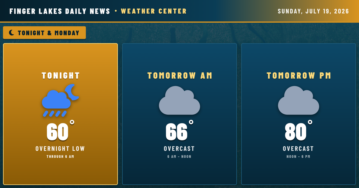
Tonight looks quiet and comfortable. Surface high pressure builds over the eastern Great Lakes, allowing temperatures to drop into the low to mid 50s across most of the region, with cooler readings possible in the deeper Southern Tier valleys. Patchy fog is expected to develop late overnight, particularly along river valleys near Corning and into the Southern Tier, where cold air drainage meets warmer water. That fog will linger into Monday morning before dissipating by mid-morning.
Two Air Quality Alerts remain in effect — the one covering Yates, Steuben, Chemung, Schuyler, Tompkins, and surrounding counties expires at 11:45 PM tonight; a separate alert covering Ontario, Livingston, and Allegany counties wraps up at midnight. Both are tied to smoke. Once those clear, Monday brings mostly sunny skies with highs warming back near 80°.
The bigger story arrives Tuesday, when a deepening trough and strong cold front push in from the west. Showers and thunderstorms are expected Tuesday through Tuesday night, and NWS Buffalo is flagging that some storms may turn severe. Wednesday follows cooler with a few lingering showers possible.
Weather Center forecast for the Finger Lakes region. Sourced from NWS, Open-Meteo, NWS Area Forecast Discussion, and USGS stream-flow data. Updated 6 AM, noon, and 6 PM ET.