


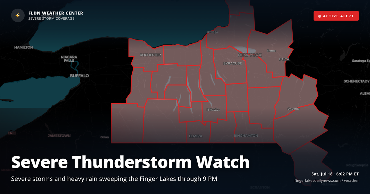
Watkins Glen is in the thick of it right now — thunderstorms firing ahead of tonight’s cold front, with the rest of the region soaked under moderate to heavy rain from Geneva down to Bath. This is the main event, and it’s moving fast.
The cold front is the driver here. NWS Buffalo has tracked a line of severe-capable storms stretching across the Finger Lakes all afternoon, with damaging winds and locally heavy rainfall possible through 9 PM. Those threats are still on the table until the front clears the region. Auburn has seen the heaviest rainfall so far this evening; areas along Seneca and Cayuga already have elevated stream flows, so ponding on low-lying roads is worth watching through the night.
Air Quality Alerts remain messy to sort through tonight. Canadian wildfire smoke has been filtering out through the afternoon, but alerts linger for much of the region — most expire by midnight, though areas including Steuben and Schuyler counties stay under alert until 2:30 AM Sunday. Ithaca and Corning readers should keep windows closed a bit longer than the rest of the area.
The good news is what’s on the other side. Once this front clears, tomorrow looks dramatically different — partly cloudy to overcast skies, a high near 73° in Geneva, and northwest winds around 11 mph keeping things comfortable. Lows tonight drop to 68° regionally, so no frost risk. A modest drizzle chance lingers into Sunday morning, but the severe weather threat is done. Monday clears further, with highs back near 80° under partly cloudy skies.
Weather Center forecast for the Finger Lakes region. Sourced from NWS, Open-Meteo, NWS Area Forecast Discussion, and USGS stream-flow data. Updated 6 AM, noon, and 6 PM ET.