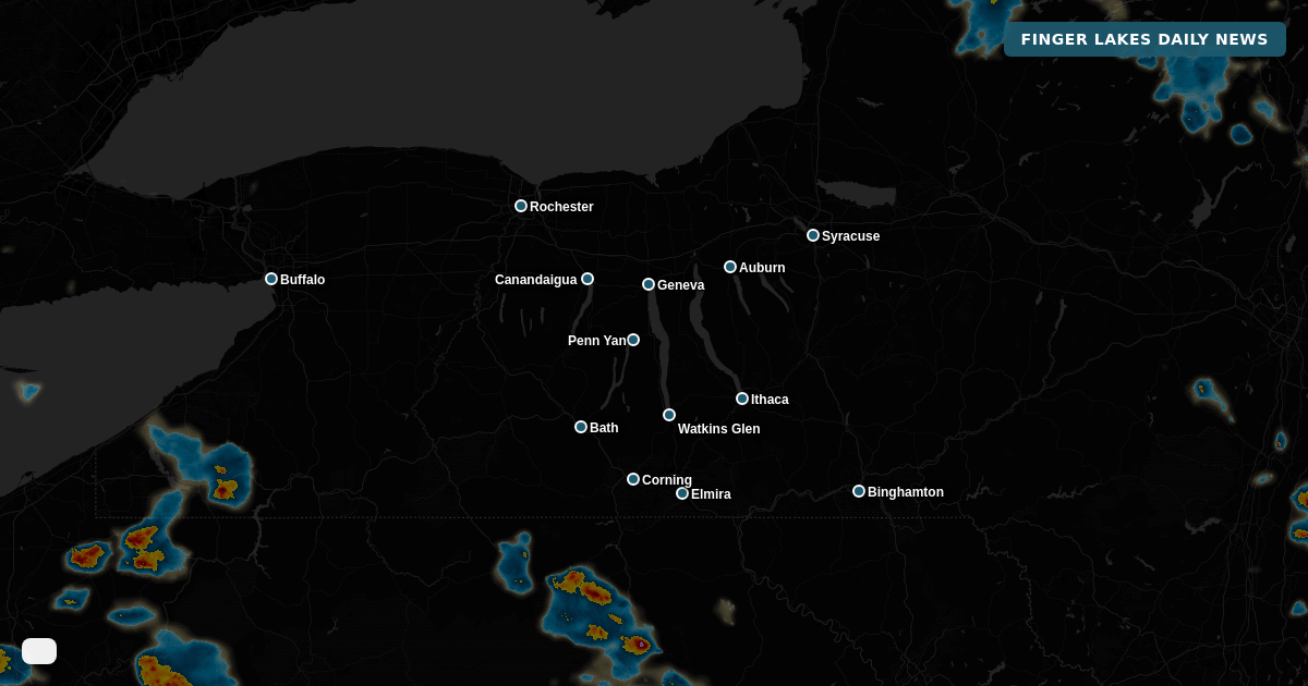


The NWS Binghamton alert issued just 18 minutes ago tells the real story this midday — smoke is still the headline despite genuinely comfortable air outside. At noon, Geneva sits at 68° under mainly clear skies with a northwest breeze, and the region is tracking right toward forecast highs in the low-to-mid 70s across most towns, with the southern tier — Watkins Glen, Corning, and Elmira — touching 75°.
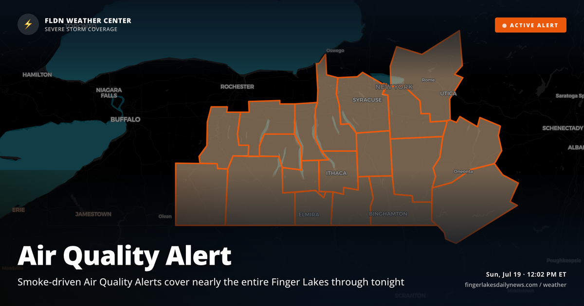
Air Quality Alerts cover virtually the entire Finger Lakes footprint today. The western zone (Ontario, Livingston, Allegany counties) runs until midnight tonight; the broader central zone including Yates, Seneca, Tompkins, Schuyler, Steuben, and Chemung counties runs until 11:45 PM. Sensitive groups should limit time outdoors, especially with afternoon heating still ahead.
The afternoon stays dry and comfortable — highs hold in the low-to-mid 70s with that light northwest wind keeping things pleasant for anyone who can tolerate the air quality. Tomorrow brings a warmer rebound into the low 80s under high pressure, then rain chances return Tuesday and Wednesday as a shortwave trough digs into the Great Lakes. The SPC has flagged Tuesday for a marginal-to-slight severe storm risk — worth watching as the week develops.
Weather Center forecast for the Finger Lakes region. Sourced from NWS, Open-Meteo, NWS Area Forecast Discussion, and USGS stream-flow data. Updated 6 AM, noon, and 6 PM ET.