


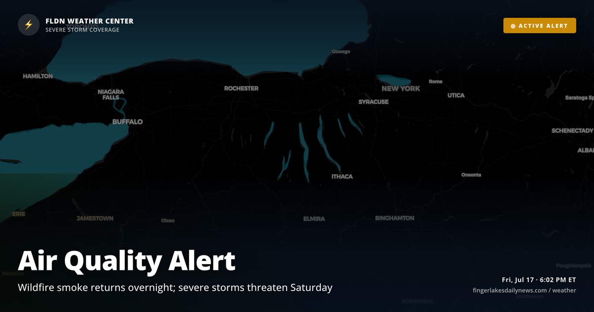
The part of tonight’s forecast that concerns me most isn’t the temperature — it’s what’s riding in on the upper-level flow from the west. Canadian wildfire smoke that’s been sitting south and west of the region this afternoon is expected to drift back across the Finger Lakes overnight as winds turn more westerly. Air Quality Alerts remain in effect for most of the region tonight: counties under NWS Buffalo’s alert — including Ontario, where Geneva sits — are covered through midnight. Yates, Schuyler, Steuben, Chemung, Tompkins, and other NWS Binghamton counties stay under the alert until 2:45 AM Saturday.
The good news is that NWS meteorologists expect much of the smoke to remain aloft rather than concentrating at the surface. Still, anyone sensitive to air quality should limit outdoor exposure after dark. Overnight lows settle near 61° in Geneva, Ithaca, and Canandaigua — comfortable, no frost concern tonight.
Tomorrow is a different story. A warm front lifts northward into the region overnight, bringing scattered showers and a few embedded thunderstorms by morning. Saturday proper looks notably unsettled: dewpoints climb into the upper 60s to lower 70s, and a potent shortwave digging across the Great Lakes will tighten the pressure gradient ahead of a cold front. NWS Buffalo is flagging severe thunderstorm and heavy rainfall risks for Saturday — plan accordingly if you have outdoor events. Sunday’s forecast drops back to light drizzle possibilities and highs near 73°, then a cleaner stretch returns for Monday.
Weather Center forecast for the Finger Lakes region. Sourced from NWS, Open-Meteo, NWS Area Forecast Discussion, and USGS stream-flow data. Updated 6 AM, noon, and 6 PM ET.