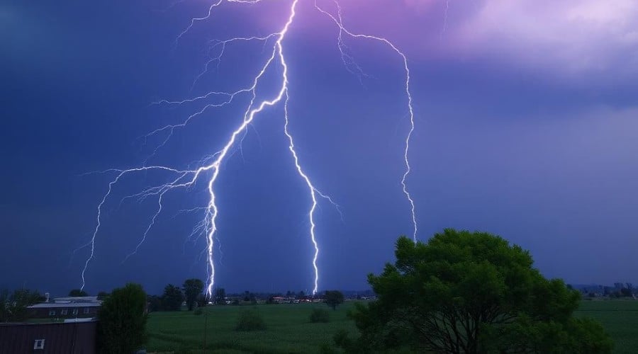
The National Weather Service is warning of the potential for strong to possibly severe thunderstorms across the Finger Lakes and surrounding region today and Wednesday.
Forecasters say a developing weather pattern will bring increasing heat, humidity, and moisture into the Northeast, creating conditions favorable for multiple rounds of thunderstorms.
A surge of warm, humid air moved north from the Mississippi Valley into the Great Lakes and Northeast Monday night. That moisture, combined with passing weather disturbances, is expected to trigger storm development through midweek.
For Tuesday, the forecast remains uncertain, but meteorologists say there could be multiple rounds of storms — possibly one in the late morning or early afternoon, followed by a stronger round later in the day. Another scenario could delay storm development until the evening hours, with the most intense activity occurring between 5 and 9 p.m.
If storms do develop, conditions could support strong wind gusts, hail, and heavy downpours. Forecasters note that sufficient instability and wind shear may be present to allow storms to become severe, though the overall setup lacks strong forcing, which could limit how widespread severe weather becomes.
Storms are expected to weaken after sunset Tuesday, with lingering clouds or light rain overnight.
Another round of unsettled weather is expected Wednesday as a slow-moving boundary sets up across the region. That could lead to repeated showers and thunderstorms throughout the day.
Forecasters say the primary concern Wednesday may shift from severe weather to heavy rainfall, as high moisture levels could lead to periods of intense rain and the potential for localized flooding, especially in areas where storms track repeatedly over the same locations.
The National Weather Service says the situation will continue to be monitored, and residents are encouraged to stay alert for updated forecasts and any potential watches or warnings.
For more detailed weather information for your neighborhood, click here.