


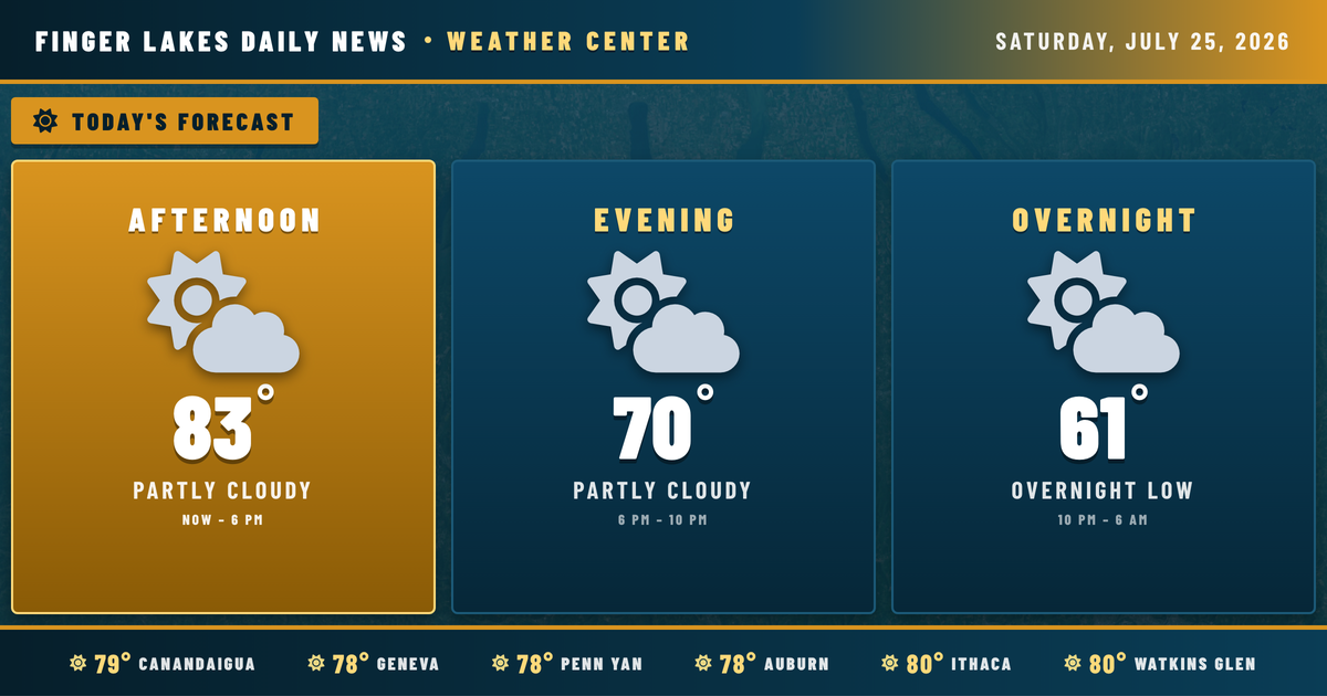
The numbers coming in at noon tell a comfortable story — Geneva sitting at 78°, Ithaca already at 80°, and clear skies holding wall to wall across the Finger Lakes. No alerts are in effect, and the day is shaping up as advertised.
That high-pressure system that’s delivered several days of pleasant summer weather has slid east into New England, and a southerly return flow is now pulling moisture back into the region. That shift shows up subtly today — humidity has ticked up a bit, and a few clouds will mix into the picture by late afternoon. Highs top out in the low-to-mid 80s, with Ithaca and Watkins Glen near 85° and Canandaigua and Auburn close behind at 84°.
The weekend turns more interesting. Sunday brings a 15% chance of light drizzle, with moisture continuing to build. The real story arrives by Tuesday into Wednesday — an upper-level trough moving in from the west will drive increasing shower and thunderstorm coverage through midweek, with Tuesday looking particularly unsettled and highs dropping to the mid-70s by Tuesday and low-to-mid 70s by Wednesday. By the time that system clears late in the week, a cooler and drier airmass takes over — Friday back to 77°, and next Saturday clearing to the low 80s.
Weather Center forecast for the Finger Lakes region. Sourced from NWS, Open-Meteo, NWS Area Forecast Discussion, and USGS stream-flow data. Updated 6 AM, noon, and 6 PM ET.