


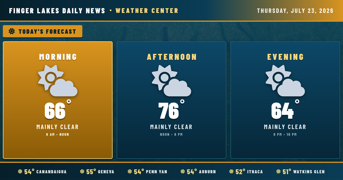
Clear skies at sunrise this morning, and Bath is already the coolest spot in the region at 48° — a reminder of just how efficiently these southern valleys shed heat on a calm, cloudless night. The good news is that the pleasant conditions overhead right now will define the next few days, with a steady warming trend unfolding through Saturday before the region’s weather pattern gets more complicated early next week.
High pressure centered over the Corn Belt is cresting over the Finger Lakes tonight, according to NWS Buffalo’s morning discussion, and that’s the engine behind the stretch of fair, dry weather ahead. Today stays comfortable, with highs near 76° in Geneva and Canandaigua, up to 78° to 79° in Ithaca and Watkins Glen, with light westerly winds and humidity levels that feel perfectly manageable. Skies stay mainly clear through the day.
One note for valley residents heading out before dawn on Friday: NWS Buffalo is flagging the potential for radiational valley fog Thursday and Friday nights, thanks to light winds and clear skies allowing temperatures to fall sharply. Watkins Glen’s valley setting makes it a prime candidate.
Friday continues the warmup with highs climbing into the lower 80s, and Saturday pushes into the mid-80s as southerly flow deepens. Dew points stay relatively low through Saturday — warm, but not oppressive. The pattern shifts Sunday as unsettled weather returns, with drizzle and shower chances building through Sunday and into the early part of next week, with highs holding in the upper 70s to lower 80s.
Weather Center forecast for the Finger Lakes region. Sourced from NWS, Open-Meteo, NWS Area Forecast Discussion, and USGS stream-flow data. Updated 6 AM, noon, and 6 PM ET.