


Sunset is still two hours away, and the Finger Lakes are sitting in some of the best evening air of the month — clear skies, low humidity in the 30s, and a gentle southeast breeze barely moving the leaves. It’s a fine end to Friday, and the overnight looks even quieter.
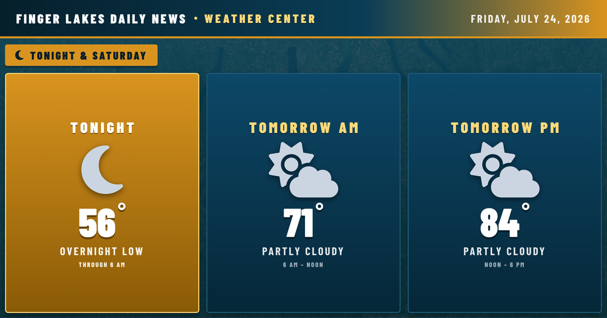
Temperatures will drop comfortably through the evening, reaching lows in the mid-to-upper 50s across most of the region by Saturday morning. The NWS Buffalo discussion notes patchy river valley fog is possible overnight across parts of the Southern Tier — areas near Watkins Glen and Corning may see some mist at or after sunrise, but it should lift quickly. No frost threat tonight with lows staying well above 50° regionwide.
Saturday continues the fine stretch. Partly cloudy skies and a high near 84° in Geneva — the warmest day of the upcoming week. A weak mid-level trough tracking into the eastern Great Lakes could spark an isolated afternoon shower or thunderstorm, but coverage will be limited. The best chance stays west of the Finger Lakes, and most of the region stays dry through Saturday evening.
The pattern shifts Sunday into early next week. Moisture increases heading into Sunday, and by Monday and Tuesday, NWS Buffalo expects increasing coverage of showers and thunderstorms — a more broadly unsettled stretch. Highs drop from the low 80s into the upper 70s Sunday, then dip further into the mid-to-upper 70s through midweek.
Weather Center forecast for the Finger Lakes region. Sourced from NWS, Open-Meteo, NWS Area Forecast Discussion, and USGS stream-flow data. Updated 6 AM, noon, and 6 PM ET.