


Checking the noon hour, and Geneva is sitting at 67 degrees — that cold front NWS Buffalo was tracking this morning completed its push through, and the airmass behind it is genuinely remarkable for late July. Forecasters note 850mb temperatures this afternoon will be near the daily minimum for this time of year, placing this air mass below the 10th percentile for July 22.
Highs will top out in the upper 60s to low 70s across the region this afternoon — Ithaca and Watkins Glen are running a few degrees warmer at 70, while Auburn and Canandaigua sit closer to the mid-60s. West winds at 10 to 14 mph will keep it feeling cool despite the sunshine working through the clouds.
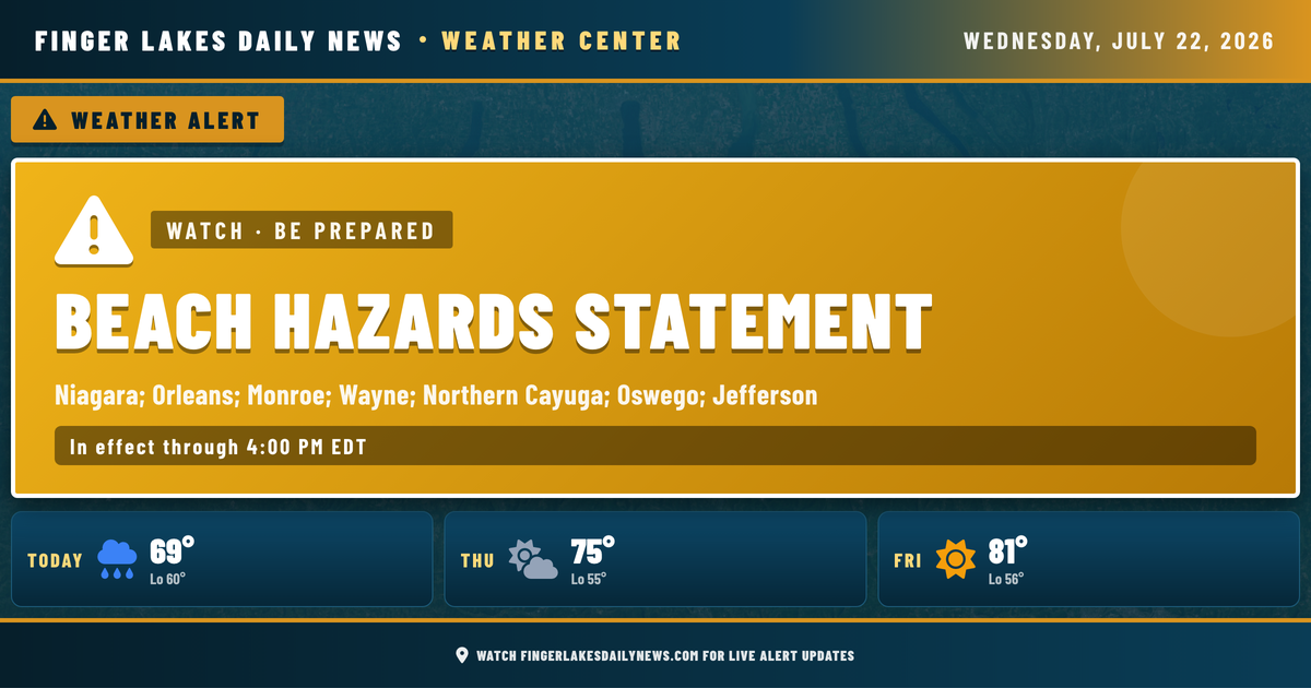
The Beach Hazards Statement from NWS Buffalo remains in effect through Thursday at 6 AM for Lake Ontario shorelines, including northern Cayuga County — rough surf and dangerous swimming conditions are the concern.
Tonight, high pressure builds in and stays dry. Thursday and Friday bring a gradual climb back toward seasonal: upper 70s Thursday, low 80s Friday, with mid-80s possible by Saturday before the next chance of drizzle arrives late in the weekend.
Weather Center forecast for the Finger Lakes region. Sourced from NWS, Open-Meteo, NWS Area Forecast Discussion, and USGS stream-flow data. Updated 6 AM, noon, and 6 PM ET.