


That cold front NWS Buffalo has been tracking arrives tonight, and you’ll feel it quickly. A few showers — likely light and scattered — are possible through mid-to-late evening before skies clear. Heavier activity is pushing east of Lake Ontario, so the Finger Lakes proper should see only limited rainfall. Still, if you have outdoor plans tonight, keep an eye on the radar.
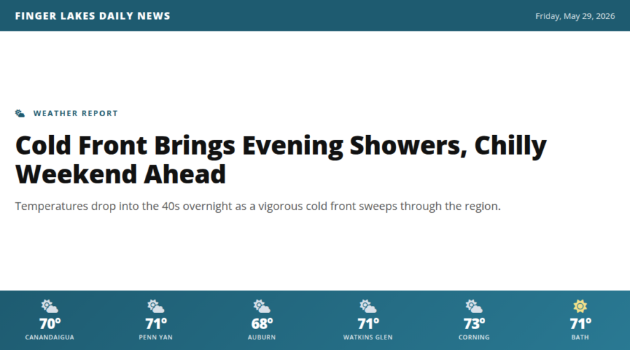
Behind the front, temperatures fall fast. Expect lows in the upper 40s for Geneva, Auburn, and Canandaigua by early Saturday morning — Bath and Watkins Glen could dip a few degrees further. No frost concerns at this point, but it’ll feel noticeably sharper after today’s pleasant mid-70s highs.
Saturday arrives with below-normal temperatures and a mostly cloudy sky. Keep a jacket handy — afternoon readings look to stay well below what we’ve seen this week.
No NWS alerts are in effect for the Finger Lakes proper tonight. The active Beach Hazards Statement covers Lake Ontario shoreline communities and expires at 9:30 PM.
Weather Center forecast for the Finger Lakes region. Sourced from NWS, Open-Meteo, NWS Area Forecast Discussion, and USGS stream-flow data. Updated 6 AM, noon, and 6 PM ET.