


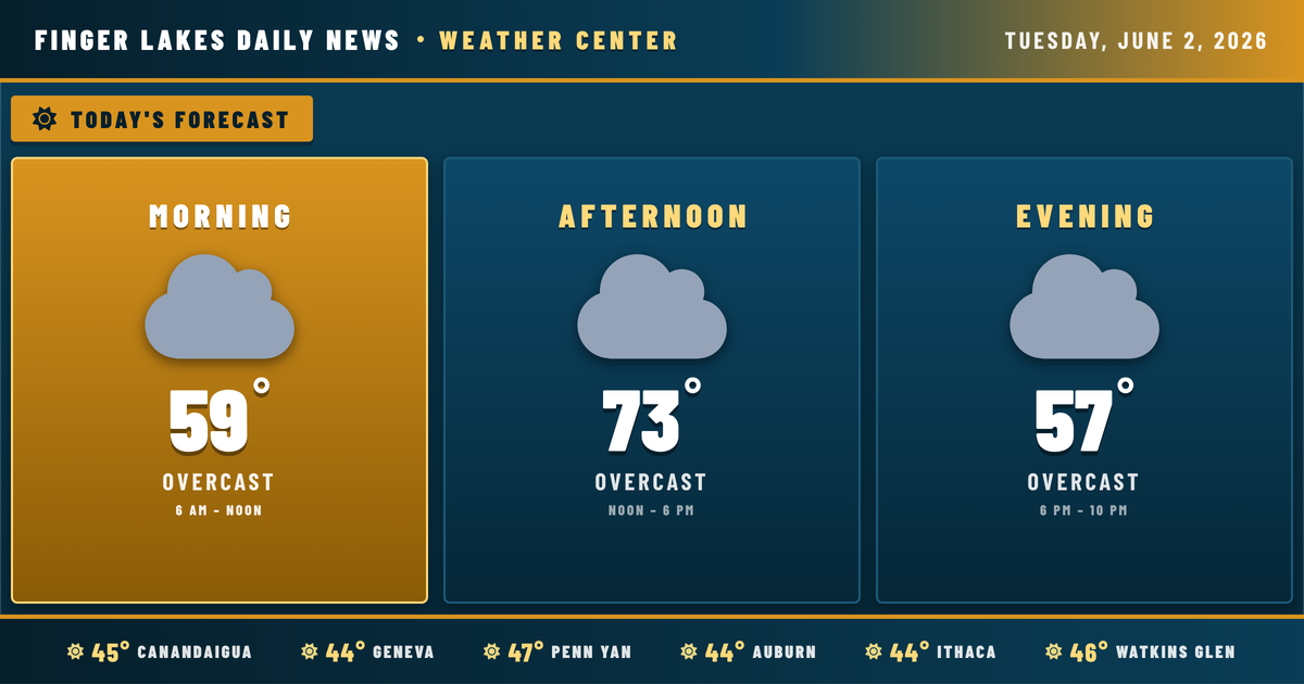
I’m watching a textbook late-spring setup unfold across the Finger Lakes this morning — clear, cool air sitting over the region right now, with the atmosphere already primed to warm up nicely through the afternoon. If you’re stepping out early in Geneva or Ithaca, you’ll feel that crispness in the 44° air, but it won’t last.
Skies will cloud over through the morning as high pressure slides east and the region edges into what the NWS Buffalo office describes as a favorable sector of an omega-pattern jet stream — essentially, a configuration that parks relatively quiet, warming air over us for the next few days. Highs today reach the low 70s region-wide, with Geneva and Ithaca touching 73° and Auburn and Bath slightly cooler near 71°. Light winds from the west and southwest will keep conditions comfortable.
Evening cools gradually after sunset at 8:40 PM, and overnight lows drop back to the mid-to-upper 40s under continued overcast. No precipitation expected tonight.
The warming trend continues Wednesday and Thursday, with highs pushing toward 79°. Enjoy it — the pattern breaks down by the weekend. A deep low pressing in from the Pacific Northwest brings a southerly, moisture-laden flow into the region by Friday, with showers and thunderstorms increasingly likely Saturday and Sunday. NWS notes that precipitable water values could hit 1.5 inches, meaning any stronger storms this weekend could produce locally heavy downpours. Monday looks unsettled as well, with highs cooling back to the mid-60s.
Weather Center forecast for the Finger Lakes region. Sourced from NWS, Open-Meteo, NWS Area Forecast Discussion, and USGS stream-flow data. Updated 6 AM, noon, and 6 PM ET.