


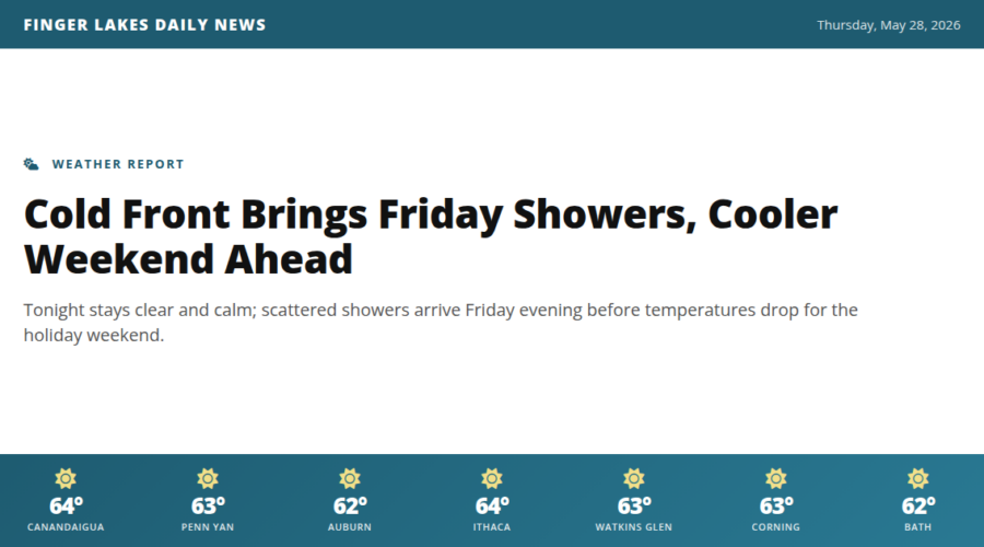
A quiet Thursday night is on tap across the Finger Lakes. Skies will stay clear as northwest winds ease after sunset, and lows settle into the low-to-mid 50s — comfortable sleeping weather with no frost concerns. No alerts are in effect.
Tomorrow starts dry and pleasant, with temperatures climbing through the mid-60s again before things change. A compact cold front drops southeast out of Quebec Friday afternoon, reaching the Finger Lakes by evening. The heavier rain stays well to our northeast, but NWS Buffalo is carrying a low chance of brief, scattered showers from Geneva to Ithaca and points west through Friday night. Don’t cancel outdoor plans, but keep an umbrella handy for evening.
The bigger story is what follows: below-average temperatures arrive for the weekend, so expect a noticeably cooler Saturday than the stretch we’ve enjoyed this week.
Weather Center forecast for the Finger Lakes region. Sourced from NWS, Open-Meteo, NWS Area Forecast Discussion, and USGS stream-flow data. Updated 6 AM, noon, and 6 PM ET.