


A raw, gray start to the weekend across the Finger Lakes. Drizzle is already falling in Penn Yan this morning, and overcast skies blanket Corning and Bath with temperatures sitting in the mid-40s. Don’t expect much improvement through midday — this is a day to keep the umbrella close and the plans flexible.
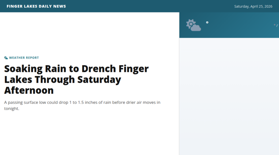
The culprit is a potent shortwave trough and surface low tracking across the eastern Great Lakes. As it does, deep moisture and strong lift along a tight thermal gradient will wring out rainfall that turns moderate to heavy at times through the afternoon. The Finger Lakes region sits squarely in the bulls-eye for the heaviest totals, with 1.0 to 1.5 inches of rain possible before all is said and done. Highs will be stubborn — topping out near 51° in Corning and only reaching 48° in Penn Yan, with a raw easterly breeze keeping it feeling damp and chilly.
With that kind of rainfall loading into already-running waterways, expect some modest rises on local creeks and streams. The Seneca River near Seneca Falls is already running at 1,870 cfs, and the Owasco Outlet at Auburn is pushing 810 cfs — both worth watching. Low-lying areas and spots with poor drainage could see some ponding.
The good news: the low exits to the southeast by this evening, and steadier rain winds down after dark. High pressure builds in overnight, bringing clearing skies and calmer conditions. Temperatures drop to the low-to-mid 40s overnight.
Looking ahead, Sunday shapes up much nicer — drier and a touch warmer with a gradual warming trend expected into next week. Make today’s rain the trade-off for a better week ahead.
Weather Center forecast for the Finger Lakes region. Sourced from NWS, Open-Meteo, NWS Area Forecast Discussion, and USGS stream-flow data. Updated 6 AM, noon, and 6 PM ET.