Residents and business owners along the Lake Ontario shoreline are being advised of upcoming aerial surveys aimed at improving flood risk mapping in the region.
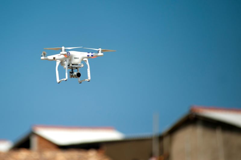
County officials say a large, government-operated drone will be used to collect high-resolution data today through Wednesday. The flights will focus on coastal areas along Lake Ontario.
The project will use LiDAR technology, which measures distances using laser pulses to create detailed, three-dimensional maps of the shoreline. Officials say the data will help identify vulnerabilities in elevation, vegetation, and infrastructure, and improve flood prediction and mitigation efforts.
The Wayne County Emergency Management Office says the updated mapping will help experts better understand which areas may be at risk from flooding and improve preparedness for future weather events.
Officials emphasize the drone will be operated by certified pilots following FAA regulations and will only collect topographical data. No identifiable personal images will be captured.
Residents may notice the drone flying at low to mid-altitudes during daylight hours. No action is required, and officials say there will be no disruption to traffic or services.