


A mainly clear, 59-degree morning in Geneva is a decent way to start the weekend — but don’t let it fool you. The calm won’t last long. Today’s story is a tight pressure gradient left behind by Thursday’s departing low, and NWS Buffalo is flagging it as the driver for gusty conditions and afternoon storm development across the region.
Winds are already running out of the west at 12 mph in Geneva and up to 14 mph in Canandaigua, and they’re expected to pick up through the afternoon as daytime heating kicks in. Gusts of 25 to 30 mph are likely across most of the Finger Lakes, with the higher terrain seeing the worst of it. A shortwave trough crossing the area this afternoon is expected to trigger showers and isolated thunderstorms — the best focus will be along the I-90 corridor, roughly from Auburn northward. Temperatures top out near 72° in Geneva and Auburn, with Ithaca and Watkins Glen reaching the mid-70s before any storms cool things down.
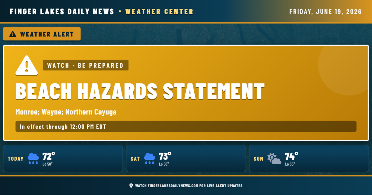
There’s also a Beach Hazards Statement in effect through noon today for Lake Ontario-adjacent areas including northern Cayuga County, driven by those elevated winds and wave action.
Evening should settle down as the trough pushes east. Expect mostly cloudy skies and lows near 58° overnight in Geneva.
Looking ahead: Saturday and Sunday bring scattered shower chances with highs in the low-to-mid 70s — not a washout, but keep an umbrella handy. The better rain chance arrives Monday, when precipitation probability climbs to 80%. A brief dry window Tuesday leads into another round of showers by next Thursday.
Weather Center forecast for the Finger Lakes region. Sourced from NWS, Open-Meteo, NWS Area Forecast Discussion, and USGS stream-flow data. Updated 6 AM, noon, and 6 PM ET.