


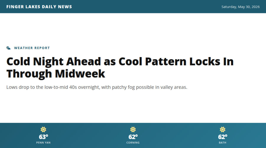
A cool, clear evening is settling in across the Finger Lakes after afternoon highs that barely cracked the low 60s — about 10 degrees below where we’d normally be for the last day of May. Expect lows tonight to fall into the low 40s, with the coldest spots — think valley floors near Watkins Glen and lower-lying areas around Geneva — potentially touching the upper 30s by early Sunday morning. No frost advisory is in effect, but gardeners with tender plantings may want to take precautions. NWS is also flagging the chance for patchy fog at some interior locations overnight, so keep that in mind for early-morning travel.
Sunday looks dry and seasonably cool, with highs likely staying in the mid-to-upper 60s. The culprit holding all of this in place is an omega-blocking pattern that’s essentially sandwiching us between a persistent upper-level trough to the northeast and a strong ridge to our west — locking in the cool, dry air through at least Wednesday. A gradual warmup follows later in the week, with more unsettled conditions possibly returning by next weekend.
Weather Center forecast for the Finger Lakes region. Sourced from NWS, Open-Meteo, NWS Area Forecast Discussion, and USGS stream-flow data. Updated 6 AM, noon, and 6 PM ET.