


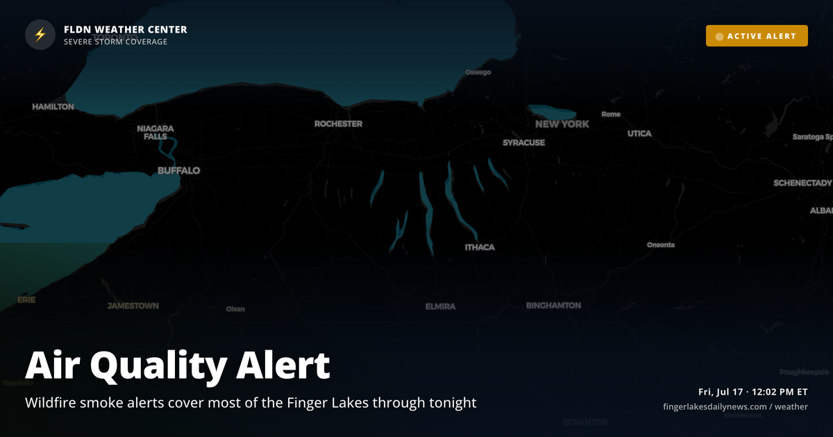
Skies over the region look deceptively clean at noon — but the smoke picture is more complicated than the current conditions suggest. Canadian wildfire smoke is still coursing through the upper levels, and Air Quality Alerts remain in effect across most of the Finger Lakes footprint through this evening. For counties in the Binghamton NWS zone — including Schuyler, Tompkins, Steuben, and Chemung — the alert runs until 9:45 PM. Northern counties including Ontario fall under a separate alert lasting through midnight tonight.
At ground level, readings are pleasant: Geneva is at 75°, Canandaigua at 76°, with highs topping out in the low-to-mid 80s this afternoon. Watkins Glen and Corning will likely touch 84°. Light northwest winds keep things comfortable through sunset at 8:43 PM.
The bigger story is tomorrow. NWS Buffalo has flagged a Slight Risk — level 2 out of 5 — for severe thunderstorms Saturday and Saturday night, as a potent upper-level trough digs across the Great Lakes and surface low pressure deepens to the west. Locally heavy rainfall is possible alongside the storm threat. Sunday brings lingering drizzle and a cooldown to the low 70s before a brief rebound Monday.
Weather Center forecast for the Finger Lakes region. Sourced from NWS, Open-Meteo, NWS Area Forecast Discussion, and USGS stream-flow data. Updated 6 AM, noon, and 6 PM ET.