FEMA is proposing updates to the Flood Insurance Rate Map (FIRM) for Seneca County and is inviting community input during a 90-day appeal and comment period beginning Wednesday.
The updated maps were developed in collaboration with local, state, and federal officials and reflect the latest data on local flood risks. While the maps have already undergone extensive review, residents, business owners, and community stakeholders are encouraged to examine them and submit appeals or comments before they are finalized.
Appeals must include technical evidence—such as hydrologic or hydraulic data—demonstrating that the modeling or data used to create the maps is scientifically or technically incorrect. Appeals cannot be based on future development projects or those initiated after the mapping study began.
Property owners who notice non-technical errors, such as a misspelled road name or incorrect municipal boundary within a flood hazard area, may submit a written comment instead.
Once all appeals and comments have been reviewed and resolved, FEMA will establish the effective date of the final maps.
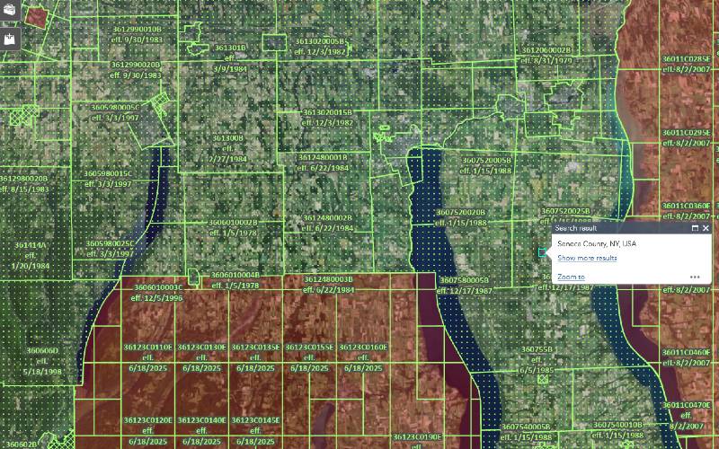
For more information and to review the updated maps, visit FEMA’s Flood Map Service Center at https://msc.fema.gov.
Have all the Finger Lakes news from Finger Lakes News Radio delivered to your email every morning for FREE! Sign up by clicking here