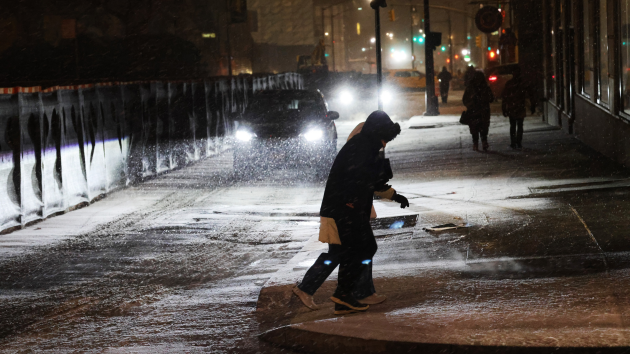
Hazardous travel conditions are expected across much of New York as a winter weather system brings ice, heavy rain, strong winds and lake effect snow through midweek.
Governor Kathy Hochul urged residents on Sunday to use caution and avoid unnecessary travel as the system moves through the state, noting that plow crews, emergency managers and utility workers have been deployed in advance. A previously declared state of emergency covering more than half of New York’s counties remains in effect.
Winter weather advisories for ice accumulation are in effect through Monday afternoon for the North Country, Mohawk Valley, Central New York, Southern Tier, Mid-Hudson and Capital regions, with up to a half-inch of ice possible. Flood watches have also been issued for parts of Western New York, the Finger Lakes and North Country, where one to two inches of rain could cause localized flooding.
Lake effect snow is expected to begin Monday afternoon and continue through Wednesday, with parts of the North Country, Western and Central New York facing snowfall totals of one to two feet. Snowfall rates of up to two inches an hour could lead to blowing snow and near whiteout conditions.
State officials say more than 6,700 utility workers are on standby statewide to respond to potential power outages. An empty tractor trailer and tandem ban will take effect Monday morning on several state highways in Western New York, and the Buffalo Skyway is scheduled to close due to high winds.
New Yorkers can sign up for weather and emergency alerts by texting their county name to 333111.
Have all the Finger Lakes news from Finger Lakes News Radio delivered to your email every morning for FREE! Sign up by clicking here